skip to main |
skip to sidebar
Megalithic Monday: Iron Hills North


Carry on down the lane from Castlehow Scar, round the southern end of the ugly 1959 spruce plantation and onwards towards the isolated farmstead of Oddendale and you can visit the twin sites of Iron Hills North and South, otherwise known as Haberwain. There is a long straight green-lane leading up from the corner of the road, up towards the ridge line that attracted the eye of these ancient architects. There are so many erratics in the fields around Haberwain, and often in vaguely regular distributions that one can get confused and “stone crazy” but it is worth remembering that in this part of the world stone circles occur, like fox shit, in prominent places with clear lines of sight and that means the summit of the ridge
.
There is some debate as to whether Iron Hills North is actually a stone circle or the remains of a ruined cairn with its base stones exposed. That there is a large cairn-shaped mound in the middle, with a dry stone wall cutting through it, would suggest the latter. Never the less this is an impressive site and one that affords clear lines of sight to other High Places around the panorama – including the large glacial trough of High Cup Nick, the edge-like summit of Wild Boar Fell, the massive of the Howgill Fells to the south and the wall of Grey Crag and Bannisdale Fell behind Shap.
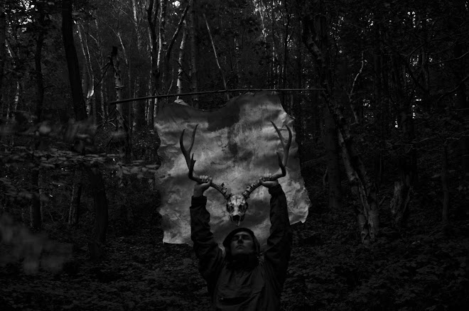
Who was buried in a place like this? John Salkeld Bland’s 1910 book “The Vale Of The Lyvenett” has an anecdotal and frustratingly romantic account of the “careless” opening of the cairn “a few years ago”, which revealed a human skeleton allegedly of “gigantic proportions” (what else), fragments of red deer antler and a “bronze dagger” described as thirteen inches in length. We may snigger at the exaggeration of the size of the skeleton and Bland’s fanciful assertion that the man “opposed the advance of the Roman legions” – he may have been as removed from Roman Britain as us – but this is a place of obvious and significant importance.
At How Tallon above Barningham Moor – 40 miles to the east – there is a Bronze Age burial cairn that affords similar lines of sight to high hills along the valleys of the Swale, Greta, Tees, Wear and even (on a clear day) the Tyne. There is also a small stone circle at the head of a prominent gill, a place that provides a permanent spring and which is commemorated by spectacular rock art panels. Here at Haberwain is a similar site – a burial mound with panoramic views, sited within a large and complex ritual megalithic landscape. The effort of erecting these burial mounds in such places, with thin soil and steep ascents, must have been considerable. Are we confident that our family and friends would go to such lengths for us when we die? Will our graves occupy a place where the High Places can be seen? Will there be anything of importance for our souls to see?


No comments:
Post a Comment